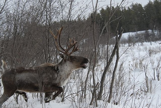
Scientific Assessment to Inform the Identification of Critical Habitat for Woodland Caribou (Rangifer tarandus caribou), Boreal Population, in Canada - 2011 Update

Photo: © Dr. Vince
Table of Contents
- Preface
- Executive Summary
- Key Findings
- Definitions
- 1. Introduction
- 2. Methodology
- 2.1 Defining Critical Habitat for Boreal Caribou
- 2.2 Guiding Principles
- 2.3 Critical Habitat Framework
- 2.4 Implementation of the Framework
- 3. Results
- 4. Discussion
- 5. Acknowledgments
- 6. References
List of Figures
- Figure 1. Critical Habitat framework for boreal caribou
- Figure 2. Scientific description of boreal caribou critical habitat framework
- Figure 3. Distribution map of boreal caribou in Canada showing the current distribution of boreal caribou using updated information provided by jurisdictions
- Figure 4. Range delineation types developed to reflect variation in the data and methods used to delineate boreal caribou ranges across Canada and the level of certainty in the delineated boundaries
- Figure 5. Location of current ranges of boreal caribou in relation to the ecozones in Canada
- Figure 6. a) National and b) ecozone specific resource selection functions (RSFs) for boreal woodland caribou across the extent of occurrence in Canada
- Figure 7. R²-value of models describing recruitment as a function of percent total disturbance with different buffers applied to anthropogenic disturbance
- Figure 8. Graphs showing 95% confidence intervals (top) and 50, 70, and 90% prediction bands (bottom) for best univariate regression model (M3) of caribou recruitment and landscape disturbance
- Figure 9. Probability that the population growth rate is either stable or positive (Pr (λ ≥ stable)) as a function of percent (%) total disturbance based on four (4) hypothetical habitat dynamic scenarios
- Figure 10. a) Decision rules applied to inform integrated risk assessment. b) Elaboration of rules used to resolve difference between the indicators of population growth
- Figure 11. Probability of observing stable or positive growth (λ ≥ stable) of caribou populations over a 20-year period at varying levels of total range disturbance (fires ≤ 40 years + anthropogenic disturbances buffered by 500 m)
- Figure 12. Generalized approach to the assessment of risk and establishment and interpretation of disturbance-based management thresholds for boreal caribou
- Figure 13. Boreal caribou ranges in Canada identified for the description of critical habitat
- Figure 14. Integrated Risk Assessment for boreal caribou ranges in Canada
- Figure 15. Intervals of disturbance reflecting relative levels of risk associated with achieving a desired outcome of maintaining range conditions necessary to support a self-sustaining population of boreal caribou
- Figure 16. Current disturbance (a) and potential future population and range conditions (b) on the West-side Athabasca River caribou range
- Figure 17. Current disturbance (a) and potential future population and range conditions (b) on the Smoothstone-Wapawekka caribou range
- Figure 18. Current disturbance (a) and potential future population and range conditions (b) on the North Interlake caribou range
- Figure 19. The adaptive management cycle (from Jones 2009)
List of Tables
- Table 1. Categories of anthropogenic disturbance digitized to inform the implementation of the boreal caribou critical habitat description framework
- Table 2. Specification of candidate models for the national meta-analysis
- Table 3. Indicators of self-sustainability used in the Integrated Risk Assessment to assess current conditions
- Table 4. Ranges of parameters and their incremental step sizes used in factorial projections for the generic population modelling
- Table 5. Range of lambda values corresponding to each of the population trend categories determined through population simulations
- Table 6. Likelihood scale for the integrated risk assessment of current conditions
- Table 7. Level of certainty associated with the availability of demographic data for a range
- Table 8. Level of certainty in the consistency of information
- Table 9. Intervals of total range disturbance associated with varying levels of certainty in outcome and risk relative to achieving the recovery objective of stable or positive population growth
- Table 10. Number of boreal caribou ranges in Canada within the following three delineation types: Conservation Unit, Improved Conservation Unit, and Local Population
- Table 11. Results for the Integrated Risk Assessment and for the supporting indicators assessing boreal caribou ranges based on two criteria of self-sustaining local population: 1) stable or positive population growth over the short term (≤ 20 years) estimated using Pr (λ ≥ stable), and 2) persistence over the long-term (≥ 50 years) estimated using the indicator of quasi-extinction (Pr (N≥Qext))
- Table 12. Biophysical attributes of boreal caribou habitat in the Taiga Shield ecozone
- Table 13. Biophysical attributes of boreal caribou habitat in the Hudson Plains ecozone
- Table 14. Biophysical attributes of boreal caribou habitat in the Boreal Shield East
- Table 15. Biophysical attributes of boreal caribou habitat in the Boreal Shield Southeast
- Table 16. Biophysical attributes of boreal caribou habitat in the Boreal Shield Central
- Table 17. Biophysical attributes of boreal caribou habitat in the Boreal Shield West Central
- Table 18. Biophysical attributes of boreal caribou habitat in the Boreal Shield West
- Table 19. Biophysical attributes of boreal caribou habitat in the Boreal Plains ecozone
- Table 20. Biophysical attributes of boreal caribou habitat in the Montane Cordillera ecozone
- Table 21. Biophysical attributes of boreal caribou habitat in the Taiga Plains ecozone
- Table 22. Biophysical attributes of boreal caribou habitat in the Boreal Cordillera ecozone